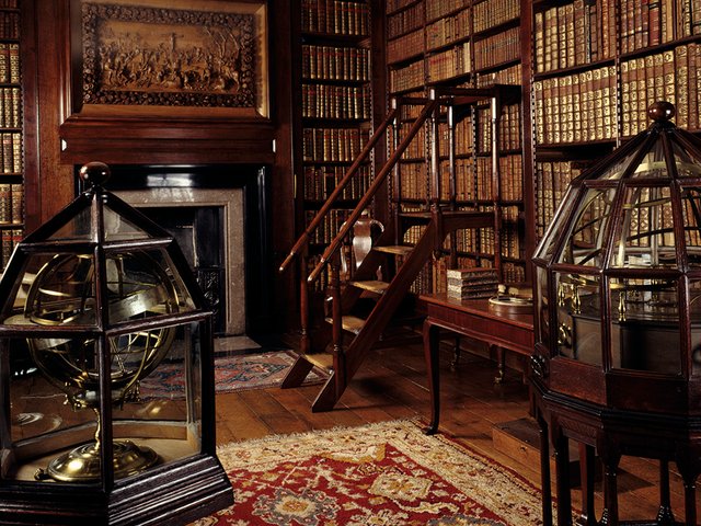
A few years ago, James Cheshire, the professor of geographic information and cartography at the University College London (UCL), walked into a forgotten map room on the campus. At the time he did not know he would spend three years in this dusty room, amid 440 bespoke drawers, sorting through the many hitherto ignored maps—some secret and some not-so secret. The resulting book is an exquisite record of the curiosities Cheshire discovered, and an apt homage to the analogue ways of the world as well as the importance of cartography.
The 96 “lost” maps explored here span epochs, geographies and geological landscapes. Some threatened to break apart in human hands, while others, tucked away from sunlight and human interference for many decades, seemed surprisingly fresh: a map of Hiroshima printed just weeks before the atomic bomb was dropped, another of Madrid used for the Nazi invasion of Spain, and yet another of the ocean floor. These cartographic gems, alongside Cheshire’s commentary, elevate The Library of Lost Maps to a timely, enlightening and hugely entertaining volume about the inexorable vitality and importance of libraries as sociopolitical memory keepers.
Cheshire’s background and interest in spatial data analysis and visualisation plays a crucial role in his selection. An early find was one of only 34 copies of the first map showing the geology of the whole of the Indian subcontinent. Created by Victorian mapmaker George Bellas Greenough, this large map becomes doubly pertinent because, as Cheshire observes, Greenough was “one of the first to see the potential for maps as something more than a way of showing people where to go”. The initial sketch took Greenough over a decade to create.
Writing about the current era of digital maps, Cheshire notes the importance of having vast amounts of digitised map data accessible for teaching, research and related purposes. Not only is the data to hand and easily updated, but it is also unwasteful. As he writes: “The world I inhabit, as a mapmaker, would have been inconceivable to most of the generations before me.” Regarding the future of maps and whether artificial intelligence will replace them altogether, Cheshire reassures his readers with an “emphatic no”. Maps, he says, provide us with “the basis for campaigns for cleaner air in cities”; they “shame the wealthiest about the carbon footprints of their private jets”.
Cheshire’s deep appreciation for the art of cartography and its marriage with history is a perfect combination. In 2026 most diplomatic policy meetings begin and end with presentations. Data is shared, reports circulated, challenges discussed. The format, often cold, impersonal and screen intensive, foregoes encouraging the hands-on participation needed to tackle the local and personal details of modern-day issues like urban planning, peace negotiations, classroom education, even routine tourism. The Library of Lost Maps reignites the question: what changes when people are invited not just to see data, but to interact with it physically? In connection to this, Cheshire writes about the role of maps during the US negotiation in the Paris Peace Conference of 1919. Elucidating the powerful role a map plays in such circumstances, he writes: “An ethnographic map could radically change the perspective of the statesmen involved in the assessment of the trade-offs required in the negotiations.”
On a stroll through the National Postal Museum in Washington, DC, Cheshire wonders why a similar museum cannot be dedicated to maps. And rightly so! Maps tie us to our sociopolitical, economic, spatial past and present; maps are arbiters of the ways humanity has charted its journey; maps “have it all”. And, if you look close enough, there really is a map for everyone.
Exploring the contents of The Library of Lost Maps is as close as most readers will come to handling paper maps and their accompanying paraphernalia in our highly digitised times. Cheshire transports us back through time and place, reminding us of our past while guiding us toward our future.
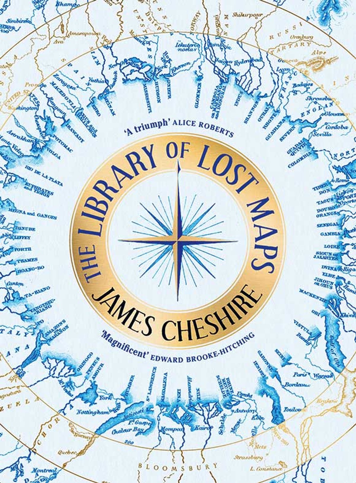
- James Cheshire, The Library of Lost Maps, Bloomsbury Publishing, 384pp, more than 100 col. illust., £30 (hb), published 9 October 2025
- Anandi Mishra is a writer, critic and communications professional based in Sweden