
Maps
Loading...
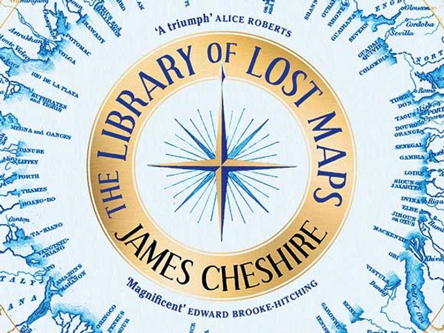
A passionate cartographer reveals fascinating histories—and what we lose with the demise of printed maps
Curators at Tate and Los Angeles County Museum of Art discuss the ways in which technology has shaped artists’ work, plus a chat about the “mesmerising” Harmonia Macrocosmica
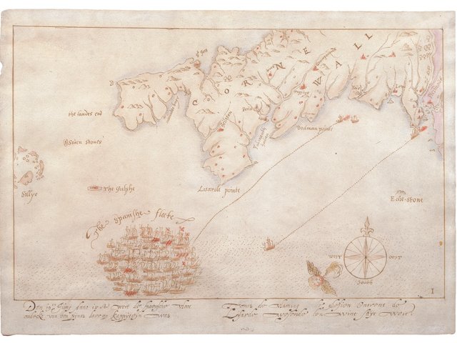
Analysis of 16th-century, hand-drawn maps finds that the reds pigments were only available from the late 19th century

New book collects the illustrator’s maps that range from UK political sleaze to the renaming of American states using cockney rhyming slang